Hotel Tibet
Hotel Tibet is a family-run boutique hotel that has blended traditional Tibetan designs with a touch of modern simplicity.

Expedition and Climbing

Duration
32 Days Trip Days Trip
Meals
31B,32,L,31D
Start Point
Kathmandu
End Point
Kathmandu
Style
Guided Expedition
Max. Altitude
7,126m/23,379ft at Himlung Peak
Trip Grade
Alpine Difficulty
Lodging
Teahouses (Mountain Lodges), Camp, Hotels in KathmanduHimlung Himal: A Strategic Gateway to 7,000 Meters
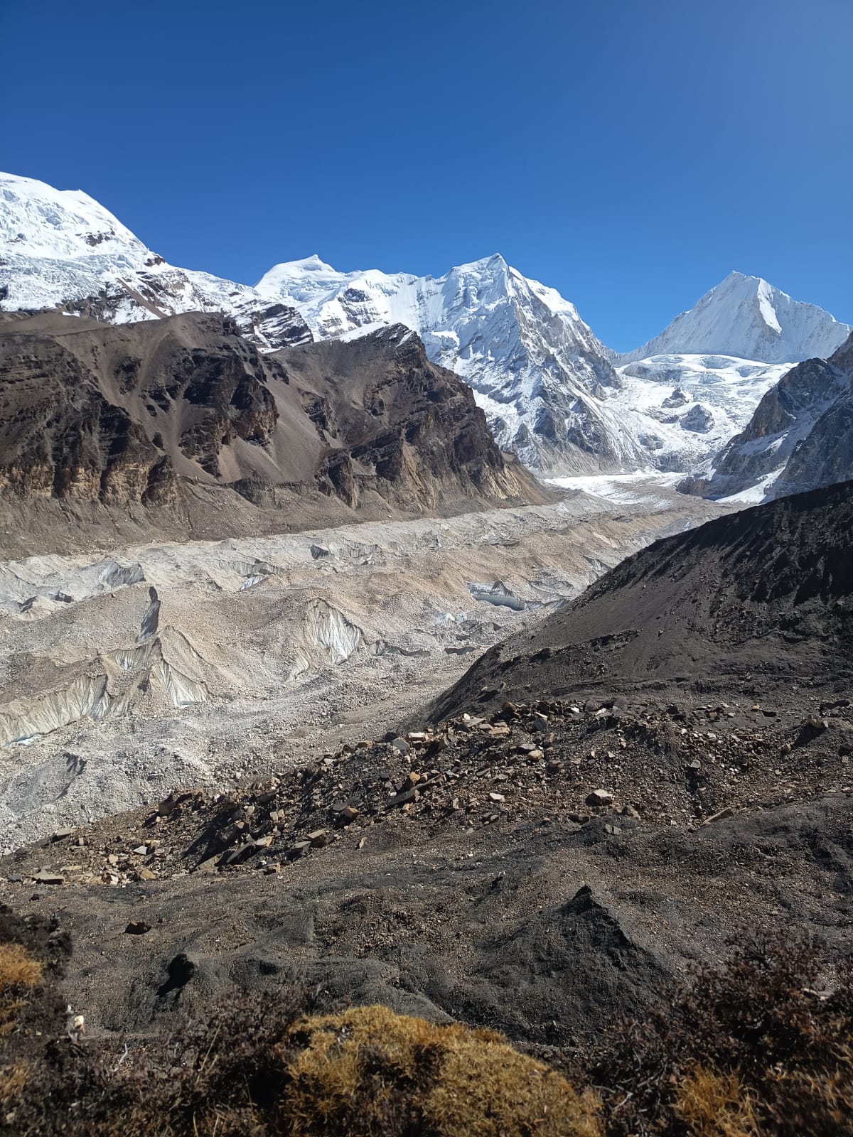
Himlung Himal (7,126 m) is a premier 7,000-meter peak located in the remote Nar-Phu Valley of the Annapurna region, near the Tibetan border. It was first successfully climbed in 1992 by a Japanese team. Due to its relatively low objective hazards and high success rate, it has become a popular choice for mountaineers seeking a strategic training ground before attempting 8,000-meter giants like Everest or Manaslu. The mountain is technically graded as Alpine AD+ (Moderate), requiring climbers to have solid prior experience with crampons and ice axes from 6,000 m ascents.
The expedition typically spans 28 to 32 days, beginning with a scenic drive to Koto followed by a week-long trek through ancient Tibetan-style villages like Meta and Phu Gaon. Unlike many other Himalayan peaks, Base Camp is established on a unique, stable grassy meadow at 4,900m rather than on moving glacial ice. This approach to the restricted valley allows for proper acclimatization while offering a rare glimpse of a culture that has remained virtually unchanged for centuries, which is essential for climbers to adapt to the high altitude and understand the local heritage before attempting the challenging ascent. It is essential for climbers to adapt to the high altitude and understand the local traditions before attempting the ascent, as this knowledge enhances their safety and performance and fosters respect for the local culture they will encounter during their journey.
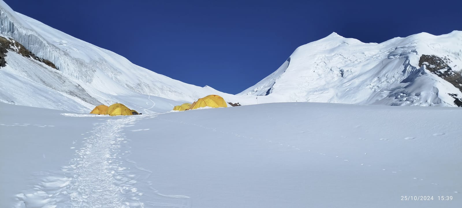
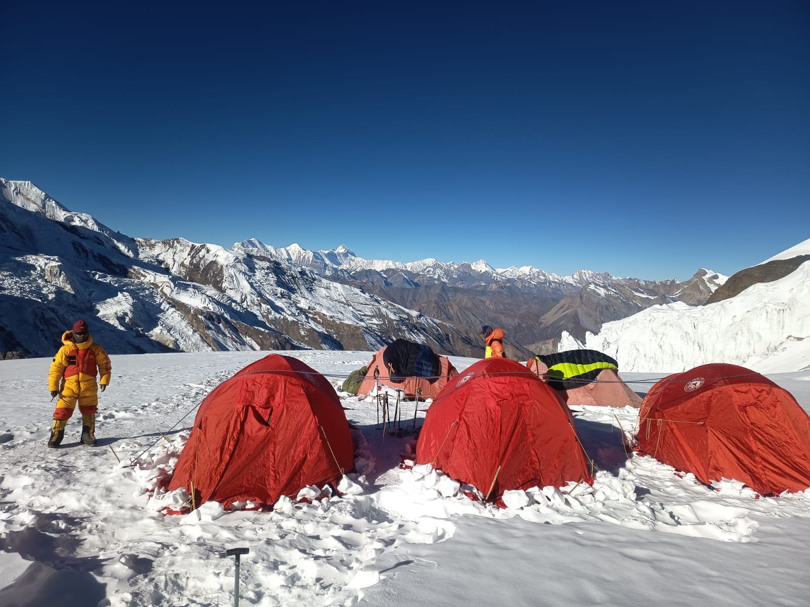
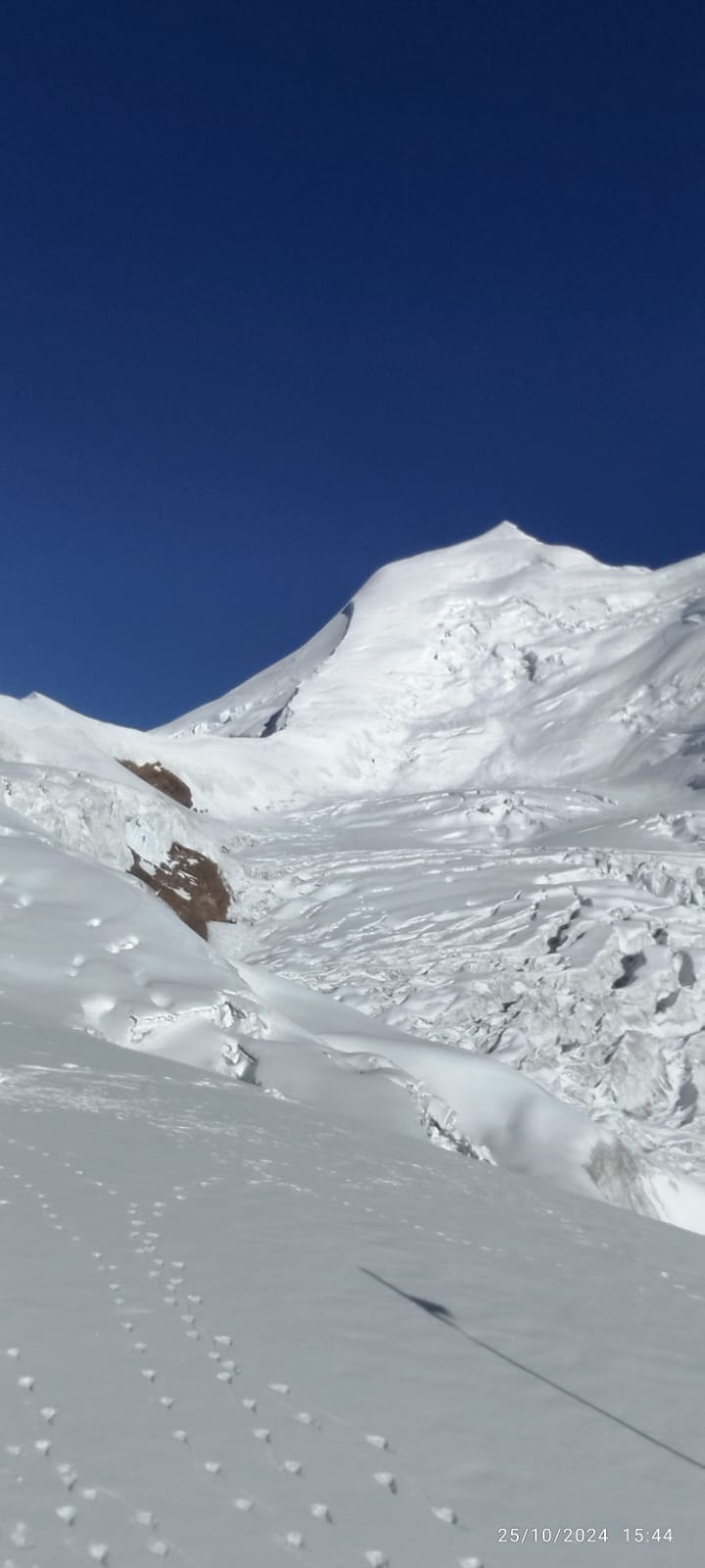
The climbing route primarily follows the Northwest Ridge and involves navigating three high camps situated at 5,450 m, 6,000 m, and 6,350 m across steady 30°–45° snow slopes. The final summit push is a strenuous 10–14 hour round trip over a 45°–50° headwall and steep icy ridges that demand proficiency with fixed ropes. High physical endurance is essential to handle the 1,100 m elevation gain on summit day, especially with high winds and temperatures that frequently drop below -25°C.
You will arrive at the Tribhuwan International Airport, Kathmandu, Nepal. Once you arrive, our representative will be holding cards with your name to welcome you and drive you to the hotel.
Once you arrive at the hotel, you will rejuvenate and rest. Or you can explore Thamel, the liveliest area in Kathmandu. Also, ensure all the needed gear is ready.
Max. Altitude
1,400 m
Overnight
KathmanduIt’s an exciting day’s adventure today; after breakfast, you will set out on a sightseeing tour of this rich cultural, traditional, and spiritual capital of this Himalayan country. Today, you will also explore some of the UNESCO World Heritage Sites located in Kathmandu (7 out of 10 in the country are inside the capital valley).
After the day tour, your expedition guide will brief you on the details of the trip and what to expect. If you haven’t completed your shopping for the equipment yet, you can use Day 1 and Day 2 of your Himlung Himal Expedition to rent or buy mountaineering gear.
Max. Altitude
1,400 m
Overnight
KathmanduThe drive from Kathmandu to Besisahar is a classic Nepali road adventure, transitioning you from the capital’s urban sprawl to the lush, tropical river valleys of the Himalayas. As you descend towards the Trishuli River, the air warms and the scenery shifts to dramatic terraced hillsides and vibrant green rice paddies. Along the Prithvi Highway, you’ll pass through bustling roadside hubs like Malekhu, famous for its crispy fried fish, and Mugling, where colourful trucks and the steady rhythm of a bumpy, but scenic ride define the experience. Once you turn north at Dumre, the massive peaks of Lamjung Himal begin to dominate the horizon, signalling your arrival at the gateway to the Annapurna Circuit. Besisahar itself is a high-energy trekking hub, filled with the anticipation of hikers prepping gear for the wilderness ahead.
Max. Altitude
760 m
Overnight
Besisahar
Duration
5-6 hoursThe 65 km journey from Besisahar to Koto is an adventurous 5- to 7-hour ascent into the Himalayas, where the pavement ends and the rugged mountain wilderness begins. Travelling by 4WD jeep, you’ll navigate a narrow track carved into steep cliffs, passing the roaring Marshyangdi River and spectacular waterfalls like those at Syange and Chamje. As you climb from the subtropical lowlands of Besisahar (760 m) to the alpine elevation of Koto (2,600 m), the air cools significantly, and massive peaks like Lamjung Himal come into focus. Koto serves as the quiet gateway to the Nar Phu Valley, marked by a critical police checkpoint where restricted area permits are verified before trekkers leave the main Annapurna trail.
Max. Altitude
2,600 m
Overnight
Koto
Duration
5-7 HoursThe trek from Koto (2,600 m) to Meta (3,560 m) is a steady, 15 km climb that takes about 7 to 8 hours. After verifying your restricted area permits at the Koto police post, you’ll follow the Nar Khola River through dense pine and rhododendron forests, crossing several suspension bridges over deep gorges. The trail features a notable stop at Dharamshala, where you often walk directly under waterfalls before a steep, final ascent. As the forest thins, the landscape opens into a stark, high-altitude plateau, concluding at the stone-built village of Meta, which offers stunning views of Annapurna II and Lamjung Himal.
Max. Altitude
3,560 m
Overnight
Meta
Duration
7-8 HoursThe trek from Meta (3,560 m) to Kyang (3,840 m) is a short, moderate leg covering about 10 km in 4 to 5 hours. The trail leaves the lush greenery behind, traversing a wide, arid plateau along the Phu Khola that resembles the Tibetan highlands. You’ll pass through the ancient, seasonal settlements of Chyakhu and Junam Goth, which once housed Tibetan Khampa refugees, while enjoying panoramic views of Annapurna II and Pisang Peak. Kyang itself is a rustic winter settlement for the people of Phu, serving as a peaceful and essential acclimatisation stop before the final canyon push to Phu Village.
Max. Altitude
3,840 m
Overnight
Kyang
Duration
4-5 HoursThe trek from Kyang (3,840 m) to Phu Gaon (4,080 m) is a stunning 4- to 5-hour journey through a deep, sheer-walled canyon. You’ll walk along a trail carved directly into the cliffs high above the Phu Khola, crossing a suspension bridge before ascending a series of rock staircases. The path culminates at the ancient Phu Gate, a stone gateway that reveals your first view of the vertically stacked, mediaeval village. Phu is a “lost” cultural gem, featuring the 600-year-old Tashi Lhakhang Monastery and offering a rare look at traditional Tibetan-style life amidst the stark beauty of the high-altitude desert.
Max. Altitude
4,080 m
Overnight
Phu Gaon
Duration
4-5 HoursAcclimatisation day in Phu Gaon (4,080 m) is a vital pause before tackling the high passes, blending essential mountain safety with deep cultural immersion. Most trekkers spend the morning on a 6-hour round-trip hike to Himlung Himal Base Camp (4,900 m), which provides the perfect “climb high, sleep low” stimulus and stunning glacial views of the 7,126 m peak. Alternatively, a short walk to the 800-year-old Tashi Lhakhang Monastery offers a chance to meet the local Lama and explore one of the most remote Buddhist sites in the world. In between hikes, explore the village’s narrow stone alleys to observe locals harvesting mustard or herding yaks, while keeping a watch on the surrounding cliffs for blue sheep and the rare snow leopard.
Max. Altitude
4,080 m
Overnight
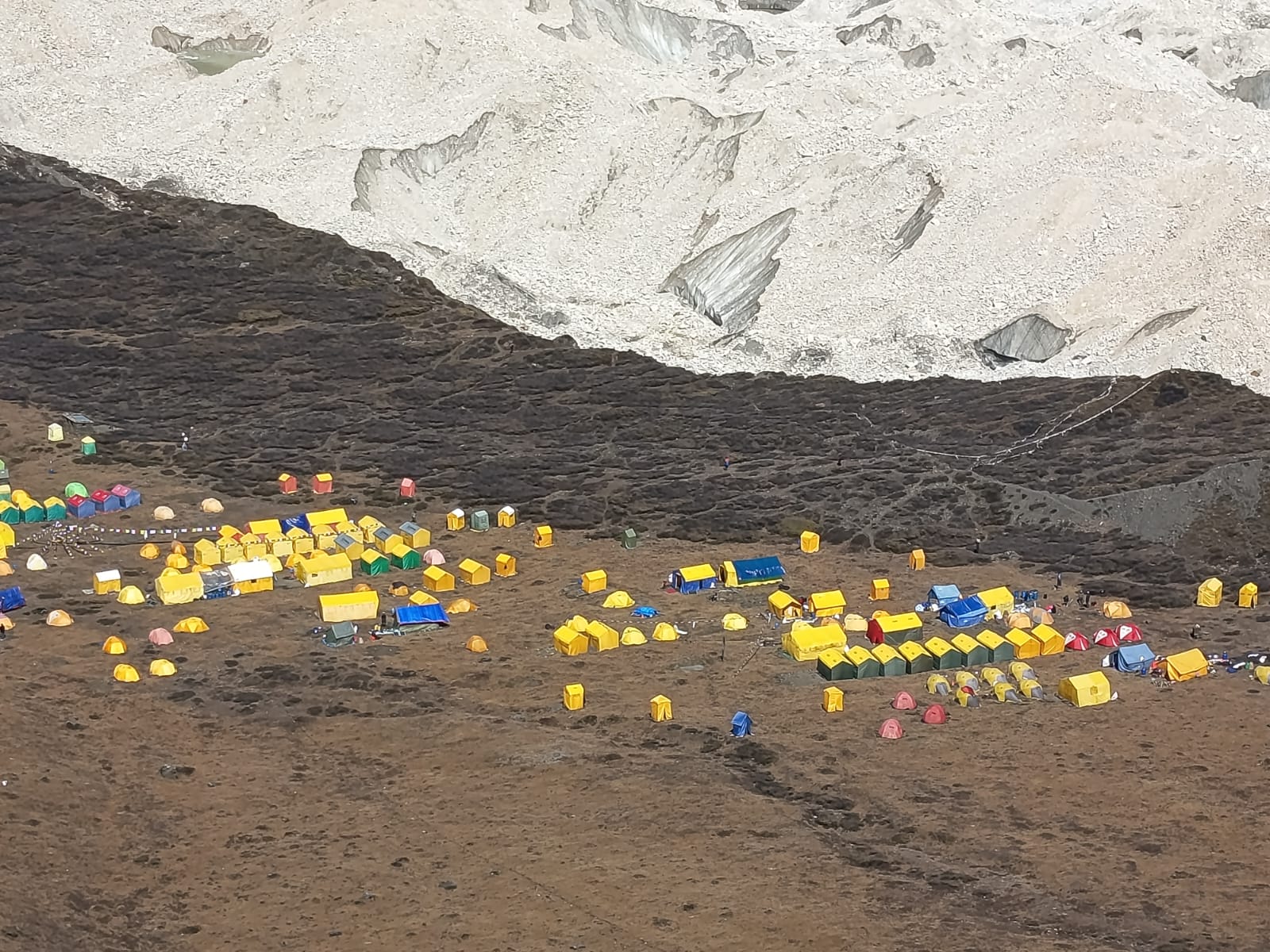
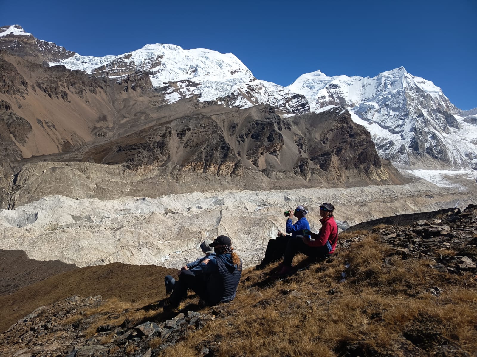
Phu GaonThe trek from Phu Gaon (4,080 m) to Himlung Base Camp (4,900 m) is a steady, 4- to 5-hour ascent that moves from the mediaeval village into a high-alpine wilderness. You’ll navigate the rocky moraines of the Pangri Glacier, leaving the vegetation behind for a dramatic “lunar” landscape of rock and ice. As you gain over 800 metres in elevation, the massive 7,126 m spire of Himlung Himal dominates the view, surrounded by peaks like Nemjung and Gyaji Kang. Reaching the base camp, you’ll likely find a colourful “tent city” of climbers preparing for summit bids, offering a high-energy atmosphere at the foot of one of the region’s most iconic giants.
Max. Altitude
4,900 m
Overnight
Himlung Base Camp
Duration
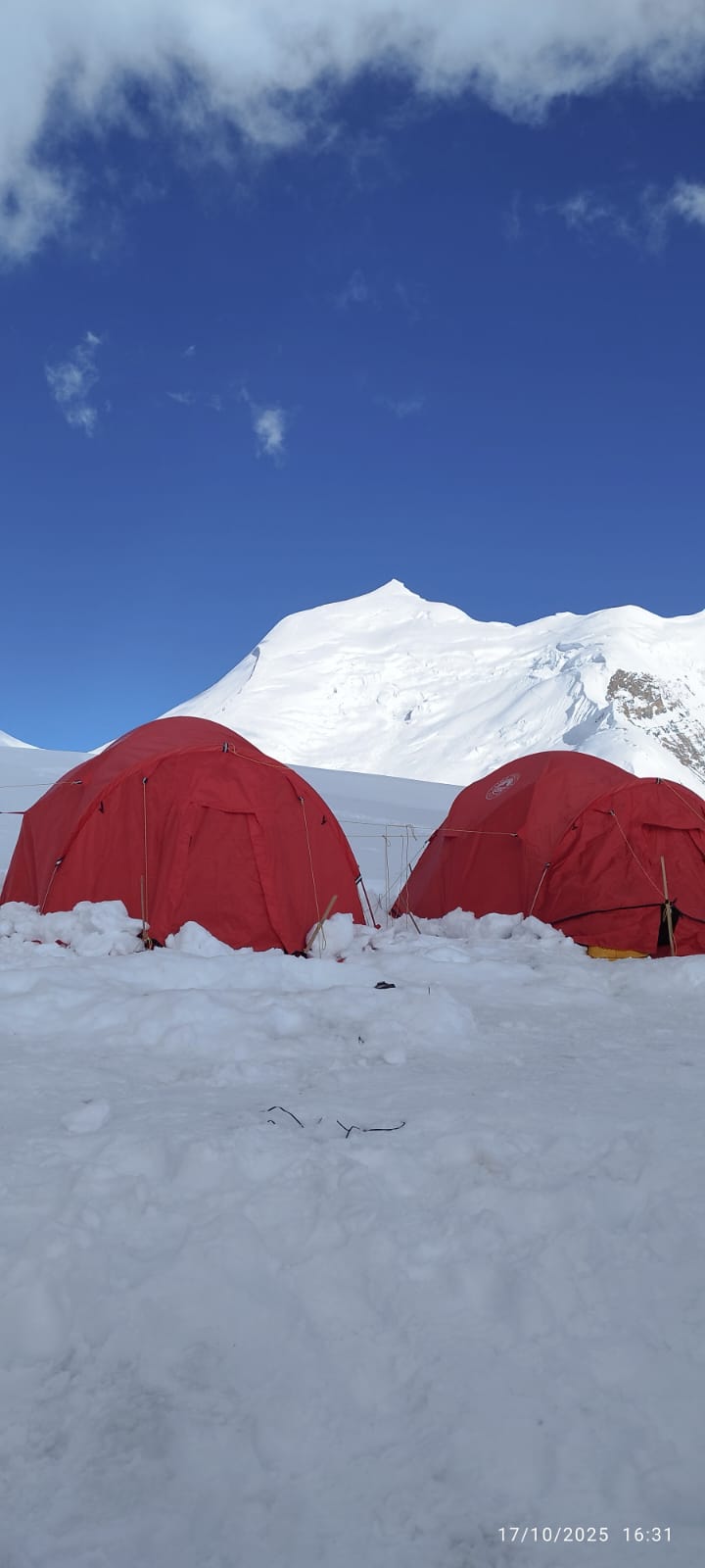
4-5 HoursThe rotation phase is the technical and physical heart of the expedition, where you move between Base Camp (4,900 m) and the high camps to prepare your body for the thin air. In the first rotation, you’ll ascend to Camp I (5,450 m)—often a 3-hour trek over glacier moraine—spend the night acclimatising and return to Base Camp for recovery. The second rotation is more gruelling, involving a climb from Camp I to Camp II (6,000 m) through a steep 40-degree couloir and crevassed glacier sections where fixed ropes are used. After spending a night at 6,000 meters to “trigger” red blood cell production, you descend all the way back to Base Camp for several days of rest, hydration, and a Puja ceremony to wait for a favourable weather window for the final summit push.
The climbing period for Himlung Himal (7,126 m) is the ultimate test of endurance, typically involving a final push through three high camps. After moving from Base Camp to Camp I (5,450 m) and Camp II (6,000 m), you’ll reach Camp III (6,350 m), situated on a high ridge that serves as the final launchpad. Summit day is a gruelling 10- to 12-hour mission starting around midnight; you’ll navigate a steep 40-degree snow slope and a physical 400-meter climb to the summit ridge. Standing at the top rewards you with a rare 360-degree panorama of the Annapurna and Manaslu ranges before you begin the long, careful descent back to the safety of the lower camps and eventually Base Camp.
Max. Altitude
7,126 mThe trek from Himlung Base Camp (4,900 m) back to Meta (3,560 m) is a long, mostly downhill day that covers roughly 17 km in 7 to 9 hours. You’ll retrace your steps through the glacial moraines of the Pangri Glacier and bypass Phu Gaon to descend back through the ancient settlements of Kyang and Chyakhu. While the gravity-assisted descent is faster than the climb, the significant loss of nearly 1,400 meters in elevation can be taxing on your knees, making trekking poles highly recommended. As you leave the stark, high-altitude desert and move toward the relative warmth of Meta, the air becomes noticeably thicker, providing a welcome relief after the extreme altitudes of the summit push.
Max. Altitude
3,560 m
Overnight
Meta
Duration
7-9 HoursThe final leg of the trek from Meta (3,560 m) down to Koto (2,600 m) is a long, 15 km descent that takes about 6 to 7 hours. You’ll leave the high, arid plateaus behind and plunge back into the lush forests of pine and rhododendron, following the Nar Khola River downstream. The trail features dramatic scenery as you pass through narrow canyons and cross several suspension bridges over deep gorges, including a revisit to the waterfalls near Dharamshala. By the time you reach the police checkpost at Koto, you’ll be at a much lower, oxygen-rich altitude, officially rejoining the main Annapurna Circuit trail and marking the end of your remote wilderness expedition.
Max. Altitude
2,600 m
Overnight
Koto
Duration
6-7 HoursThe drive from Koto (2,600 m) to Besisahar (760 m) is a rugged, 65 km journey that takes roughly 5 to 7 hours by 4WD jeep. You’ll navigate one of Nepal’s most dramatic mountain roads, carved directly into sheer cliffs with the Marsyangdi River roaring in the gorge below. The route passes through several iconic Annapurna villages, including Dharapani, Tal, and Chamje, transitioning from high-altitude pine forests to subtropical terraced fields. While the descent is bumpy and adventurous, reaching the bustling hub of Besisahar marks your return to the lower valleys and the end of the off-road portion of your expedition.
Max. Altitude
760 m
Overnight
Koto
Duration
5-6 HoursThe drive from Besisahar (760 m) back to Kathmandu (1,400 m) is a 5- to 6-hour journey along the paved Prithvi Highway. You’ll wind past terraced hillsides and follow the Trishuli River, eventually ascending through the Thankot pass to re-enter the capital. This final leg marks the official end of your 30-day expedition, trading the rugged silence of the mountains for the comfort of a hotel and a celebratory dinner in the city.
Max. Altitude
1,400 m
Overnight
Kathmandu
Duration
5-6 HoursA rest day in Kathmandu (1,400 m) is the perfect opportunity to recover your strength and celebrate your summit success. Most climbers head to Thamel for a deep-tissue massage at specialised centres like Seeing Hands or Heritage Spa to soothe overworked muscles, followed by a celebratory feast at iconic spots like Rosemary Kitchen or Fire & Ice. You can spend the afternoon wandering the UNESCO sites of Boudhanath Stupa or Kathmandu Durbar Square, or simply enjoy a quiet coffee in the Garden of Dreams to reflect on your journey before your final departure.
Max. Altitude
1,400 m
Overnight
KathmanduThis is the day you left for your home. If you want to have some last-minute shopping, then you can do it after breakfast. We will ensure that you reach the airport 3 hours before the flight time.
We will do goodbyes, and in the hope of meeting again, we separate.
Some important hints:
Clothing and accessories on trek
Other
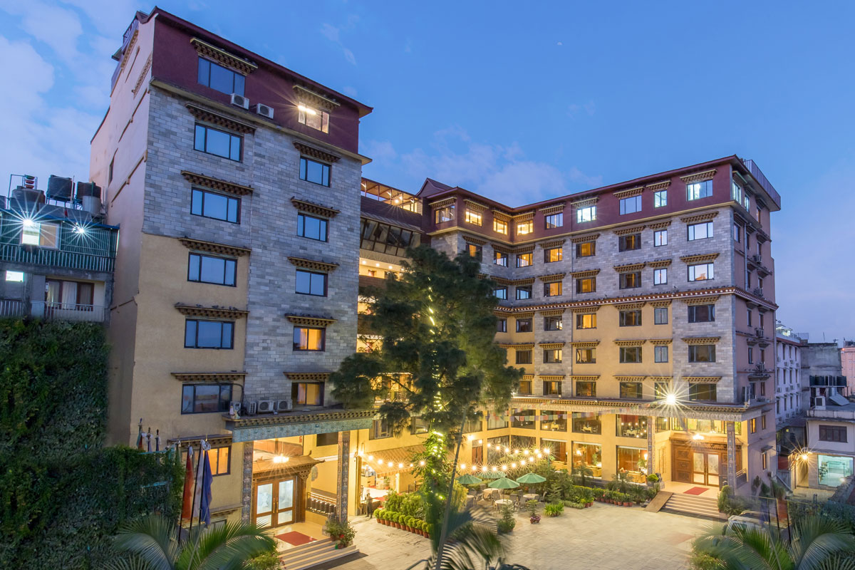
Hotel Tibet is a family-run boutique hotel that has blended traditional Tibetan designs with a touch of modern simplicity.
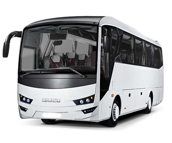
We provide luxury bus services for tourists, designed for large groups, corporate retreats, and organised tours. Our fleet features modern, high-capacity buses equipped with comfortable reclining seats, full air conditioning, and wide windows for a premium sightseeing experience. With spacious undercarriage compartments for luggage and experienced drivers at the wheel, we ensure a safe, smooth, and relaxing journey on all major highways. Whether you are travelling across the city or across the country, our bus service offers the perfect blend of reliability, comfort, and affordability for your entire group.
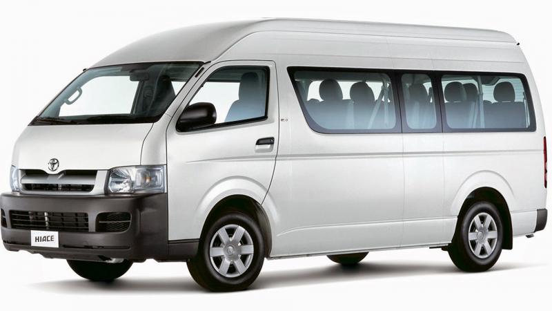
Our Toyota HiAce service offers the perfect balance of speed, comfort, and flexibility for medium-sized groups and families. Known for its reliability and agility, the "Jumbo" HiAce provides a fast and efficient way to reach your destination, easily navigating both smooth highways and narrower mountain roads. With a high-roof design for extra headroom, air-conditioned interiors, and a private "door-to-door" service, we ensure a premium travel experience that gets you there ahead of the crowd.

Our Mahindra Scorpio 4WD service offers the ultimate combination of power, durability, and rugged luxury for explorers and small groups. Engineered to conquer the demanding terrain of the Himalayas, the Scorpio provides a robust and dependable way to navigate steep inclines, unpaved tracks, and challenging weather conditions. With its high ground clearance, heavy-duty suspension, and powerful 4x4 capabilities, our private "door-to-trailhead" service ensures you reach your destination safely and comfortably, no matter how remote. Featuring an ergonomic cabin, climate control, and ample space for expedition gear, we deliver a high-performance travel experience designed to get you deep into the heart of the mountains where others cannot follow.
It is considered challenging. The trail includes steep ascents, long walking days, rugged terrain, and a high mountain pass. Good fitness and prior trekking experience are recommended.
The best times are:
Winter and monsoon seasons are not ideal due to snow and landslides.
Yes. The trek reaches above 5,000 m, so proper acclimatization, a steady pace, hydration, and listening to your guide are essential. Your itinerary includes acclimatization days to minimize risk.
No. Since it is a restricted area, solo trekking is not allowed. You must trek with a licensed guide and at least one other trekker in your permit group.
High altitude areas, especially near Dharmasala and Larke La, can drop to –10°C to –20°C at night in peak seasons.
WhatsApp +9779841603796
From Everest Base Camp to hidden valleys of Mustang, let us design a journey that’s truly yours.
Start Planning My Trip